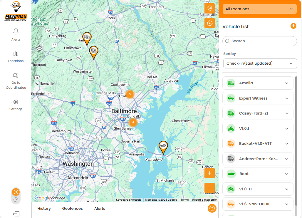
Main Screen
Once you log into the fleet portal, you'll see a map with all of your devices. Multiple devices in one area are shown in a circle with the number of devices in that area. Zooming in will show the individual devices. A searchable list on the right shows you all the devices by name.
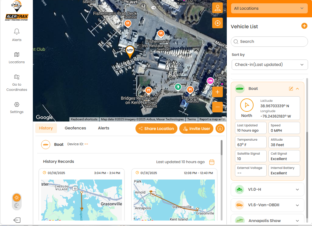
Device Information
Once you select a device, you are presented with the information for the device along with it's location. You are presented with a bottom menu where you can see the device's history, geofences and alerts. You can also select "Share Location" to give to authorities (police, Coast Guard) or others for a limited time what don't require them to download the app. Additionally, you can invite other people to monitor this device and set their own alerts and geofences.
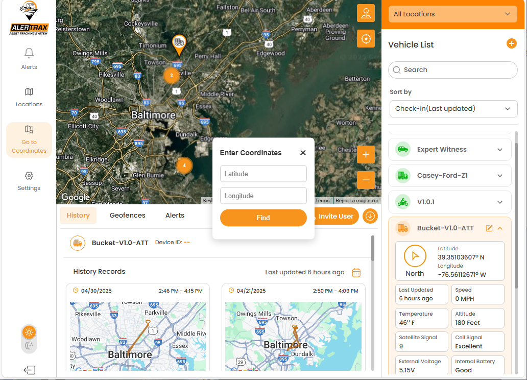
Center on Coordinates
You can also center the map on a particular set of coordinates. Great for companies with water-based assets to help find the closest vessel to someone needing assistance.
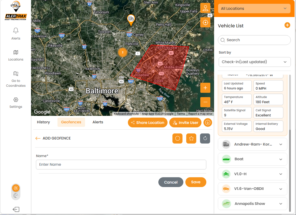
Geofences
You can setup a geofence based on a simple circle or a more complex polygon. Great for setting up when devices leave or return to the office or jobsite. Get notified when one of the devices on your rental fleet leaves the designated area. A great way to get alerts before a minor issue becomes a larger problem.
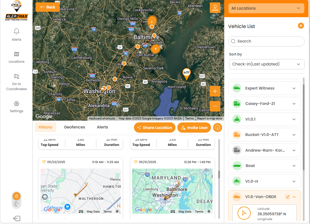
History
Get a list of trips the device has taken. You can see top speed, estimated distance traveled and the duration. Selecting a particular trip will overlay the reported points on the map connected with a line. You can hover over each point to get more information about the information reported at that time.
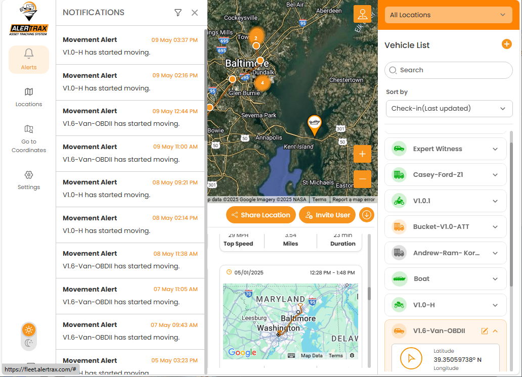
Alerts
Get a detailed list of all the alerts for your devices. You can filter the list for specific alerts (movement, speed, geofence entry and exit, and battery low) or see all of them.
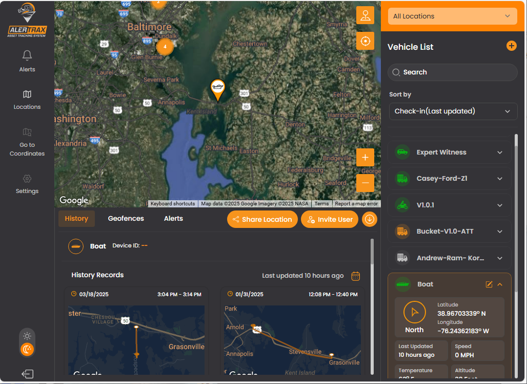
Dark Mode
Some people just like the dark. Toggle between dark and light mode at any time from the main page.